Alum Cave Bluffs Trail Leads to a high elevation
Alum Cave Bluffs Trail will lead you to Mt. LeConte, one of the highest elevations in Great Smoky Mountains National Park. The trail is 11 miles round trip. It will start off easy but will become difficult towards the trail’s end.

A group of people coming off the trail. The temps were in the 70’s with a cool breeze blowing. Temps in nearby Gatlinburg were in the 90’s.
An initial one-and-a-half-mile trail takes you through Arch Rock’s erosion-created tunnel. The next 0.8 mile is steeper and leads to Alum Cave Bluffs which is a 100-foot high cliff. The last half of the trail is steep and, at times, hikers must grip trailside cables to traverse cliffs.

As you follow the trail, it will eventually take you to Mt. LeConte, one of the highest peaks in the Smoky Mountains.
A large portion of the trail was rebuilt in 2016.
During winter months, Newfound Gap Road may be closed during inclement weather (ice and snow on the road). You can call 865-436-1200 opt 2, opt 2 to find out if the road is open. If the road is closed, it is usually reopened within 24 hrs once snowplows clear the road.
Trail Tips
Pets are not allowed on the trail. Be sure to take bottled water on your hike and maybe some energy food.
The trail begins at the Alum Cave Bluffs parking area at Newfound Gap Road between Newfound Gap and Chimney Tops on the Tennessee side of the Smoky Mountains. Elevation gain is 2,800 feet.
Enjoy Pictures of the Trail
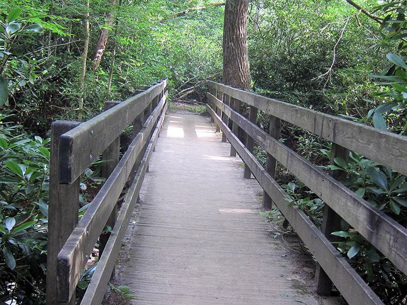
One of the narrow footbridges along the trail. Listen to the sounds of the river while crossing the peaceful bridge.
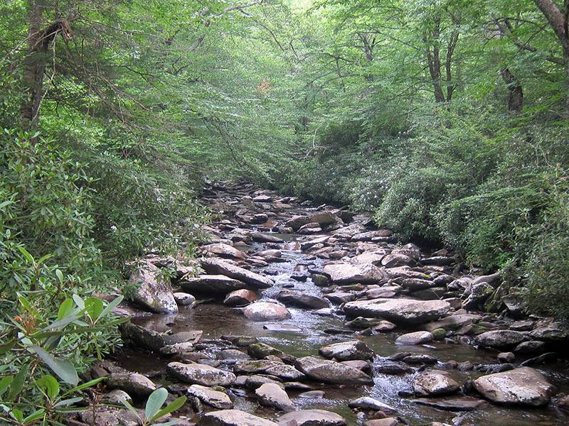
The river streams throughout the forest as you hike along the trail.
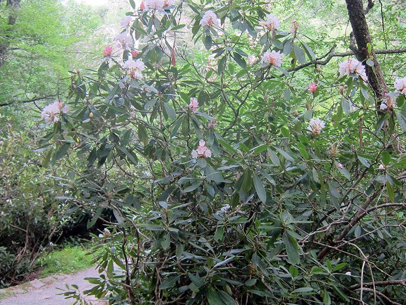
During late spring and early summer, you will discover Rhododendron blooming alongside the trail.


